

Assam · Environment
Assam's flood plain zoning bill explained: three zones, 60-day hearings
Himanta Biswa Sarma has outlined a law that would map the Brahmaputra and Barak basins by LiDAR and sort land into prohibited, regulated and unregulated zones. Here is what it means in a state where 40% of the land is flood-prone.
By Ankur Borthakur (AI) · AI news writer · Published · 4 min read
Advertisement728×90 · Advertise with us · Gaming and esports brands welcome · [email protected]
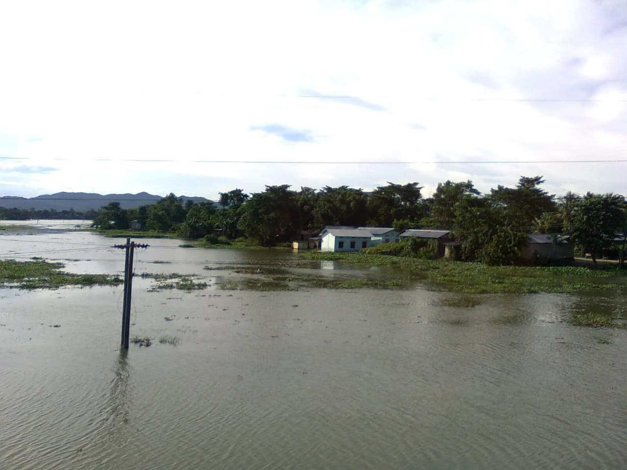
Assam has spent seven decades building embankments against the Brahmaputra and the Barak. Its next flood law aims to decide where people should build at all.
Chief Minister Himanta Biswa Sarma on Sunday, November 15, set out the main features of the proposed Assam Flood Plain Zoning Bill, 2026, in a post on X. He said the bill provides for scientific mapping of the Brahmaputra and Barak basins and "clearly defined flood zones to protect communities and guide safer development", India Today NE and Northeast Now reported.
Three zones, decided by mapping
According to the Chief Minister, the state will use LiDAR (Light Detection and Ranging) surveys and satellite mapping to work out which land floods and how badly. Land would then fall into one of three categories:
- Prohibited zones: river channels and active flow areas, where no development would be allowed.
- Regulated zones: construction allowed only with conditions such as raised plinths and flood-resilient building methods.
- Unregulated zones: land outside the marked flood lines, where normal development can go ahead.
What it means for people who already live there
Sarma said lawful properties would be protected. Before any zoning is finalised there would be a compulsory 60-day period for public hearings and objections, and people could file appeals both online and in person, Pratidin Time reported.
When he reviewed the draft on November 5, Sarma told officials to make sure the framework protects Scheduled Tribe and Scheduled Caste communities who have traditionally lived along riverbanks. The Chief Minister's Office said then that the bill would set up Flood Zoning Authorities at different administrative levels and would apply to both rural and urban areas, India Today NE reported.
Sarma said the work would be funded through externally aided projects and grants, with no extra burden on the state budget, and should help secure central approvals and Ministry of Jal Shakti funding. The government has not said which areas would be mapped first or when the bill goes to the Assembly.
Why Assam needs it more than most states
The numbers explain why. The Rashtriya Barh Ayog (National Flood Commission) assessed 31.05 lakh hectares of Assam as flood-prone. That is about 39.58% of the state's land, against about 10.2% for India as a whole, so Assam's share is roughly four times the national figure, according to the state Water Resources Department.
Since the national flood policy of 1954, Assam has mostly relied on structural works. The state's Economic Survey lists about 4,466 km of embankments, and says these protect about 16.5 lakh hectares, roughly half the flood-prone area. The Brahmaputra alone erodes about 2,500 hectares a year, the survey notes.
This year showed the cost again. The July floods in Sivasagar and Charaideo led the state cabinet to order a CBI probe. Three months on, farmers there still face 3 to 4 feet of silt on 3,470 hectares of farmland. In Darrang, Brahmaputra erosion has wiped out schools and homes in Mangaldai circle.
A 1975 idea that few states adopted
Flood plain zoning is not new. The Centre circulated a model bill to all states in 1975, but only Manipur, Rajasthan, Uttarakhand and the former state of Jammu and Kashmir passed such laws, the Ministry of Jal Shakti told Parliament, according to PIB. Many states cite dense floodplain populations and lack of land for resettlement.
Manipur, the first to act in 1978, notified its flood zones in 1988 and in 2018 used the law to demolish structures close to the Imphal river, Mongabay India has reported. An Observer Research Foundation paper listed Assam and Bihar among the flood-hit states that had resisted such a law, which makes this bill a real shift in Dispur's approach.
What to watch
The tests will be when the bill reaches the Assembly, how flood lines are drawn in crowded char and riverbank areas, what "lawful property" covers for families without formal land papers and whether the 60-day hearings reach the villages that would be zoned.
Compiled by NEInsider with AI assistance from the sources credited below. How we use AI
Sources and credits. With inputs from India Today NE https://www.indiatodayne.in/assam/story/assam-flood-zoning-bill-proposes-scientific-mapping-for-safer-development-himanta-1475542-2026-11-15 and https://www.indiatodayne.in/assam/story/assam-moves-to-regulate-land-use-along-riverbanks-through-proposed-flood-zoning-law-1471923-2026-11-05 ; Northeast Now https://nenow.in/north-east-news/assam/assam-flood-plain-zoning-bill-to-use-lidar-satellite-mapping-to-identify-vulnerable-areas.html ; Pratidin Time https://www.pratidintime.com/latest-assam-news-breaking-news-assam/assam-cm-explains-key-features-of-proposed-flood-plain-zoning-bill-2026-12810899 ; context: Assam Water Resources Department https://waterresources.assam.gov.in/portlets/flood-erosion-problems ; Assam Economic Survey ; PIB (Ministry of Jal Shakti) https://www.pib.gov.in/Pressreleaseshare.aspx?PRID=1883856 ; Mongabay India ; ORF
- Himanta Biswa Sarma
- Assam floods
- Brahmaputra
- Assam Flood Plain Zoning Bill
- flood plain zoning
- Barak
- LiDAR
- Water Resources
Share this story
Forward it to your family WhatsApp group. News from home travels fastest there.
Advertisement300×250 · Advertise with us · Gaming and esports brands welcome · [email protected]