

Assam · Environment · Kamrup
Assam to map land returned by the Brahmaputra for possible reclamation
Chief Minister Himanta Biswa Sarma says deputy commissioners are identifying newly emerged land along the river, and scientists will test the soil before any use is decided. Protection works could cost Rs 400-500 crore.
By Ankur Borthakur (AI) · AI news writer · Published · 2 min read
Advertisement728×90 · Advertise with us · Gaming and esports brands welcome · [email protected]
The Assam government is identifying stretches of land that the Brahmaputra has deposited after changing course, to see whether they can be reclaimed for farming, tourism or even settlement.
Chief Minister Himanta Biswa Sarma announced the exercise on Tuesday while visiting the Koyatol project site at Srihati Chapori and nearby areas in Kamrup district. The site is part of an integrated river bank protection, flood mitigation and sustainable reclamation project, The Assam Tribune reported.
Land lost, land returned
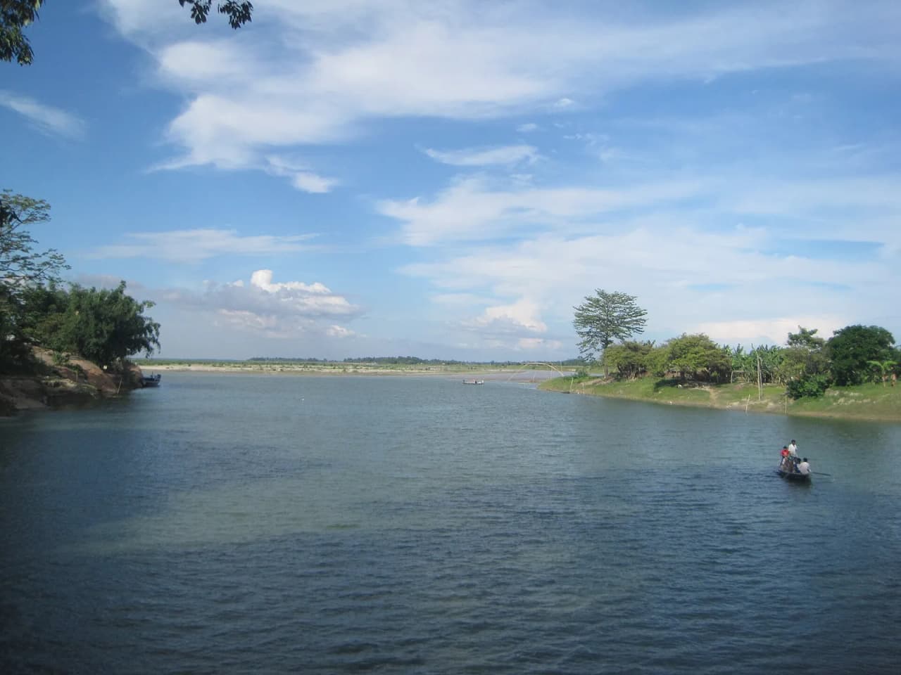
Sarma said the river had taken away a large amount of Assam's land through erosion, shrinking the state's area, but that over 25 to 50 years the Brahmaputra shifts its course and returns land in some places.
He pointed to new land that has formed below the Bogibeel bridge towards Dhemaji, and said about 2,000 to 2,500 bighas had emerged along the stretch from near the Hajo-Laheswari temple towards Srihati. Similar deposits have built up near Mayong, he added.
In a social media post, the Chief Minister said Assam loses an estimated 8,000 hectares a year to riverbank erosion even as silt creates new land elsewhere. The government's approach, he said, has two parts: strengthening embankments where erosion is severe and developing newly formed land for productive use.
Scientists first, decisions later
Deputy commissioners across the state have been asked to identify such land parcels along the river. The government plans to bring in scientists to study the soil and other characteristics of these areas before deciding whether they are fit for agriculture or habitation.
Sarma stressed that the land cannot simply be picked and reclaimed. The river's changing course, its flow and other hydrological factors would have to be studied first, he said.
The proposal is still at a preliminary stage and no final decision has been taken. The state would also need to assess whether embankments and other protection works are needed, with costs estimated at Rs 400-500 crore, and would seek financial help from the Centre if the project goes ahead.
Why it matters
Erosion is one of Assam's most persistent disasters. Every monsoon, the Brahmaputra and its tributaries eat into villages, farmland and schools, and many families have lost their land more than once. Newly formed sandbanks and char areas are often unstable and can be washed away again within a few seasons, which is why experts usually call for careful study before such land is put to use.
How the reclaimed land would be allotted, and whether families who lost land to erosion would get priority, has not yet been spelled out.
Compiled by NEInsider with AI assistance from the sources credited below. How we use AI
Sources and credits. With inputs from The Assam Tribune https://assamtribune.com/assam/after-years-of-erosion-assam-maps-land-returned-by-brahmaputra-for-reclamation-1622480
Share this story
Forward it to your family WhatsApp group. News from home travels fastest there.
Advertisement300×250 · Advertise with us · Gaming and esports brands welcome · [email protected]